While heat is stored and mixed throughout the depth of the ocean, it is the temperature at the surface—where the ocean is in direct contact with the atmosphere—that plays a significant role in weather and short-term climate.
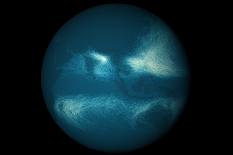
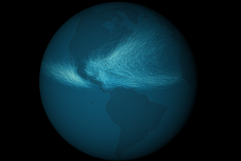
Maps of the thousands of storms that have passed through the Eastern Hemisphere tropical oceans in the past century or so reveal a more crowded landscape than similar maps of the Western Hemisphere. Unlike the Western Hemisphere, where storms are mostly confined to areas north of the equator, the Eastern Hemisphere sees storms in both north and south tropical waters.
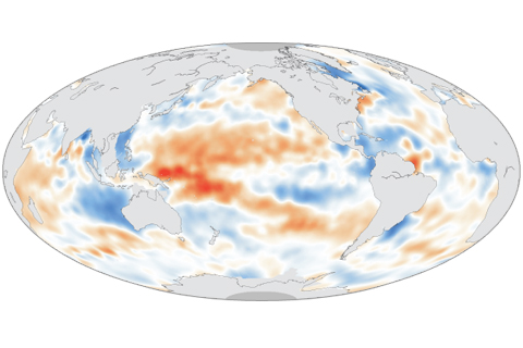
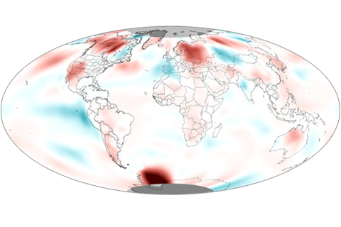
Maps of changes in the saltiness of the surface waters of the ocean over time can reveal natural climate cycles, human-caused changes in evaporation and rainfall, and variation in the strength and location of currents. This map of changes in surface salinity between 2004 and 2012 provides clues to how climate variabiity and change have influenced the global water cycle in the past decade.

In July 2013, the Pacific Northwest was relatively dry, while the Southeast got a soaking.
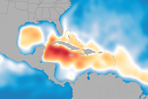
Andrea, Barry, Chantal, Dorian, Erin... who’s next? Probably plenty more, according to NOAA’s updated Atlantic hurricane season outlook. With five named storms already in the books this summer, the 2013 hurricane season is shaping up to be above normal.
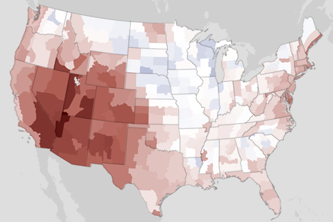
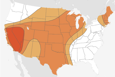
The Southwest received a double-whammy welcome to summer in June: the region was both much hotter and much drier than usual.