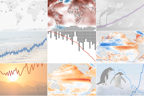
Every year hundreds of scientists from scores of countries team up to give the Earth's climate a comprehensive physical. Edited by NOAA scientists and published by the American Meteorological Society, the State of the Climate in 2015 draws on tens of thousands of observations of everything from forest fires to fish migration to catalog climate variability and change.
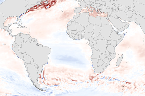
Sea surface temperature—the average temperature of water at the surface of the global ocean—is a key indicator of the ocean's status.
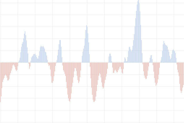
The Oceanic Nino Index tracks the sea surface temperature in the east-central tropical Pacific Ocean. It is NOAA's primary indicator of the climate patterns known as El Niño and La Niña.
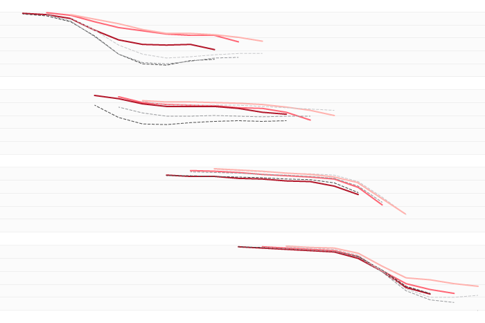
A new paper looked at 20 years work of real-time ENSO Model forecasts and found some interesting patterns. Did you know models found it pretty freaking hard to predict the onset of La Nina events?
A La Niña Watch has been issued by NOAA's Climate Prediction Center. But also, we are still in El Niño! Confused? Let the ENSO bloggers explain.
The September 2023 ENSO Outlook predicts El Niño will stick around at least through January-March 2024. But don't just take it from us, hear directly from the Pacific Ocean and tropical atmosphere, who join the blog to answer some questions.
No, your eyes are not deceiving you. The latest ENSO Outlook does in fact favor the end of La Niña with a slightly over 80% chance that ENSO-Neutral conditions will reign supreme by springtime. For more on that and another look at how daily temperatures vary during winter, click below.
Spring means only one thing at the ENSO Blog: it's time to verify the Winter Outlook! So how did things turn out? Read on to find out.
La Niña's here through winter, but chances for ENSO to transition to neutral by spring are rising.
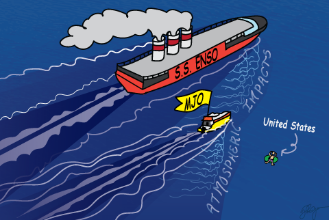
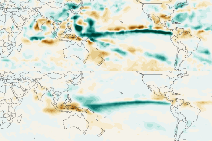
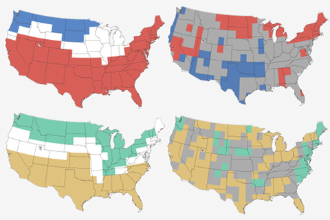
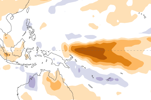
Guest blogger Marybeth Arcodia explains her latest research into how the Madden-Julian Oscillation and ENSO sometimes enhance each other's influence on U.S. precipitation and other times cancel each other out.