New research suggests the climate change could affect how ENSO impacts temperature and wildfires. Read on to learn what that means.
Wondering how strong any potential El Niño might be this winter? Maybe you should look to the South Pacific for clues.
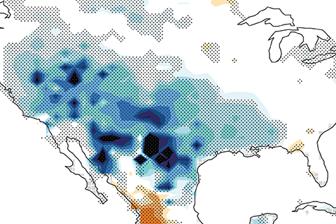
La Niña usually means a drier than average water year for California. So what happened in 2016-2017 when a weak La Niña coincided with a remarkably wet water year?
Have you ever wondered what the biggest, hottest, coldest or deepest weather records were for your state? So have many people. These data are interesting on the surface, but going Beyond the Data, they also help us think about resiliency in the face of weather, or climate or climate change, or some combination of the above.
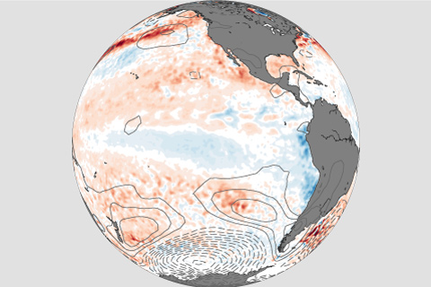
La Nina conditions appear to have peaked in strength and will likely last through the upcoming winter.
Neutral conditions are expected to continue in the Pacific with chances increasing for El Nino by the fall. Our blogger fills you in on the latest developments across the Pacific.
Now that the 2016-2017 winter is over with, it's time to look back and see what happened. Did our winter outlook do well?
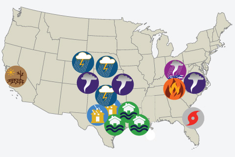
2016 saw 15 weather and climate disasters with losses exceeding $1 billion. How does that compares to history, and which disaster type was especially disruptive during the year?
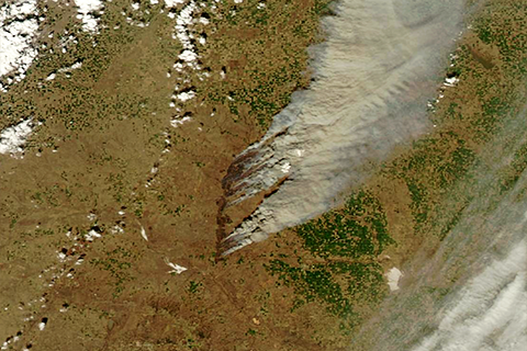
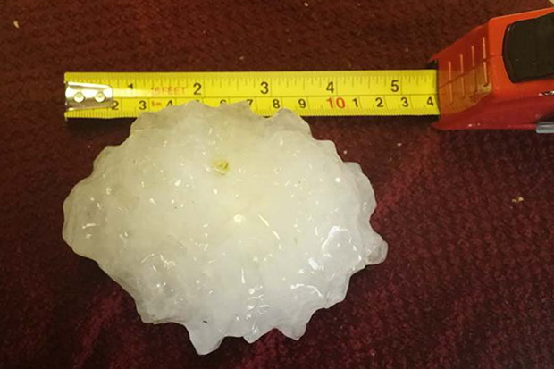
In this week's Beyond the Data blog, Deke Arndt explains the climate behind this spring's prairie fires.
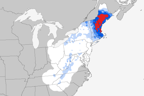
If you're thinking of bemoaning today's weather, comfort yourself with some history: today's the anniversary of the most severe Northeast snowstorm in the historical record. Guest blogger Mike Squires talks about how the February 22-26, 1969, snowstorm ranks head and shoulders above any other storm to hit the region since records began in 1900.