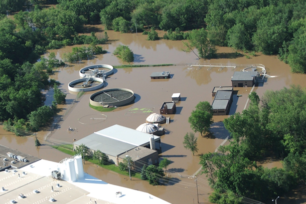
An extreme precipitation event in 2008 cost one Upper Midwest town more than a million dollars in infrastructure repairs. Now, other municipalities can simulate how a similar event might affect them.
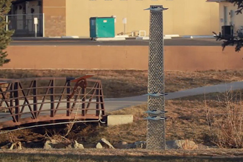
After a nightmare flood in 1997, Fort Collins, Colorado, stepped up efforts to improve resilience in the face of extreme events--efforts that will also serve the community well if climate change leads to heavier rainstorms.
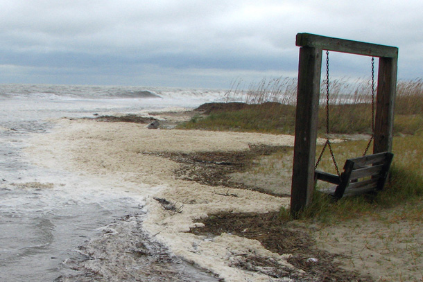
Maps and images from NOAA's online sea level rise viewer helped city officials in Tybee Island, Georgia, raise awareness of the city's vulnerabilities and set priorities for adaption efforts.
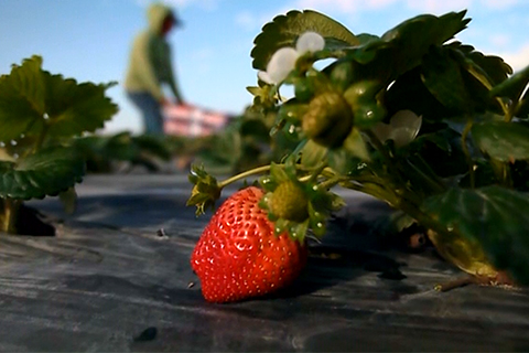
Florida's humid climate is a major headache for strawberry growers. An alert system that warns of fungus-friendly weather conditions has reduced costs and risks associated with unnecessary chemical spraying.
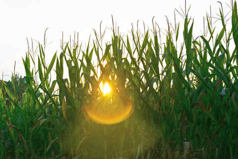
On August 25, 2011, Dr. Elwynn Taylor, Iowa State University's Extension Climatologist, tweeted to Iowa corn farmers: “Weather based statistics indicate a US corn yield of 149BPA, the prime factor this year is the Aridity Index.” Taylor uses NOAA climate information and seasonal outlooks to help thousands of the region's farmers manage risk. Nearly 5,000 followers look to his Twitter feed for guidance.
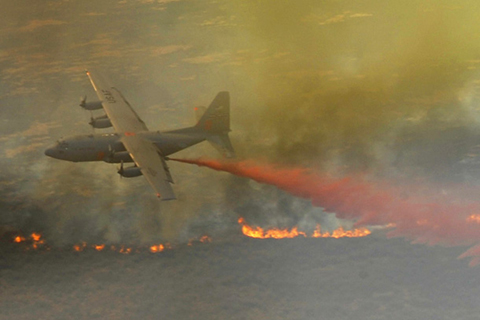
In April 2011, Texas was in the midst of what may have been its worst fire season in history. As the season began, NOAA outlooks and observations helped fire managers think strategically about where their resources could be most effective.
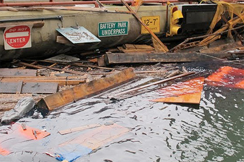
Stunned by Sandy's devastation, the city of New York undertook an ambitious project: to update its long-term sustainability plan using the latest climate science. Their goal was to understand how much sea level could rise, how soon, and just how vulnerable the city would be if some of the more extreme climate change projections turn into reality.