
Using climate simulations, water managers in the Colorado River basin helped helped stakeholders imagine and prepare for future risks.
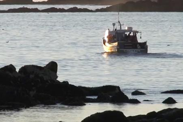
An ocean heat wave slammed the lobster industry in the Gulf of Maine in 2012. Scientists and lobstermen studying the incident found a surprise: just not fishing during the heatwave would have been better for the lobstermen's bottom line.
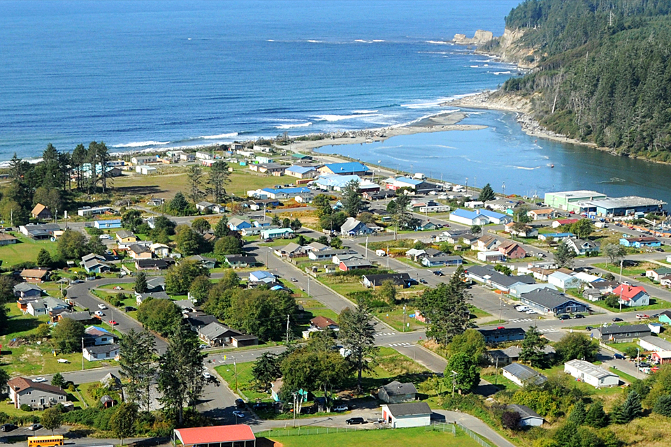
As the threats of tsunamis and sea level rise are joined by real and potential climate impacts, the Quinault community looks to move the lower village of Taholah to higher ground.
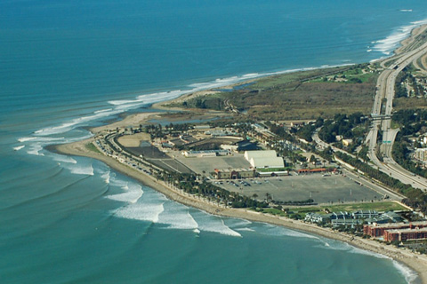
Coastal erosion has repeatedly damaged surfside bike paths and parking lots near Ventura, California. It took local groups with varying viewpoints more than a decade to agree upon a strategy, but the first phase of their solution is now complete.
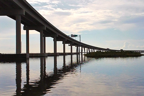
For three days in 2005, flooding from Hurricane Katrina cut off the only road to Port Fourchon. Officials had to decide: did the risk of future flooding justify the cost of raising the roadway out of the Gulf's rising waters?
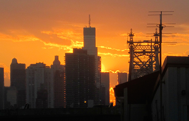
NOAA is helping the CDC build a new heat-health information system to help protect Americans from sweltering summers.
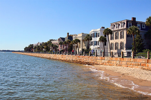
Several times per year, seawater floods some of the streets in Charleston, South Carolina. Taking steps to deal with this "nuisance" flooding can help the city prepare for sea level rise.
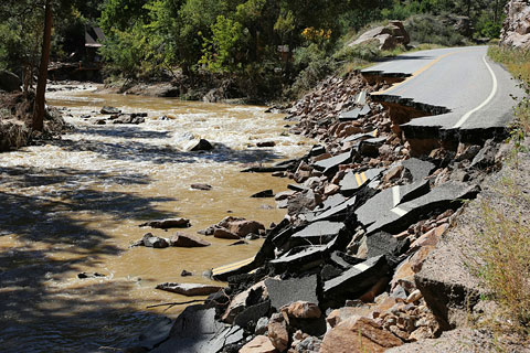
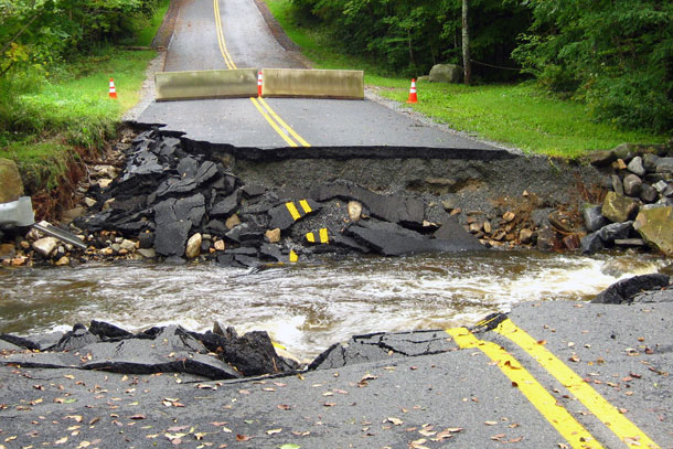
After an extremely heavy rain in September 2013 destroyed 500 miles of roads, Colorado is redesigning some riverside roadways to be more resilient to future floods.
Community groups are working to establish a connected ring of conservation land around St. Louis, Missouri. They're also incorporating economic data with flood models to help them target areas that will also provide flood protection.
Laura Sagar uses climate data of the frequency and severity of heavy rain events—and how they are changing—to evaluate her county's culvert infrastructure. Understanding the region's rainfall extremes will allow the county to improve the resilience of its roadways.