La Niña is in the rearview mirror! Our blogger recaps current conditions, looks ahead to later this year, and looks back at the past winter's global climate patterns.
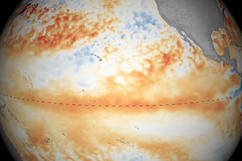
For the last 40 years, the tropical Pacific has been trending toward a La Nina-like pattern. Will this trend continue into the future? What are the implications? Three experts dig into these questions and more.
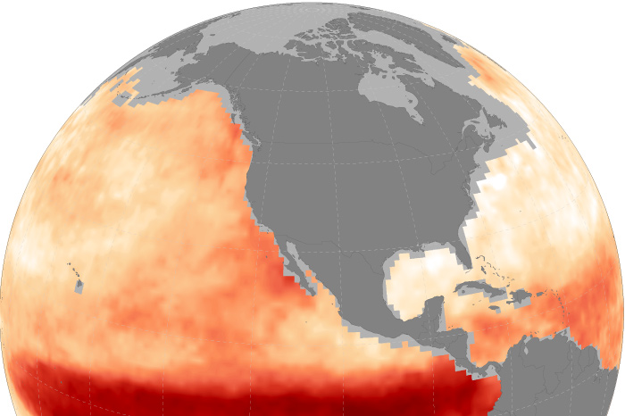
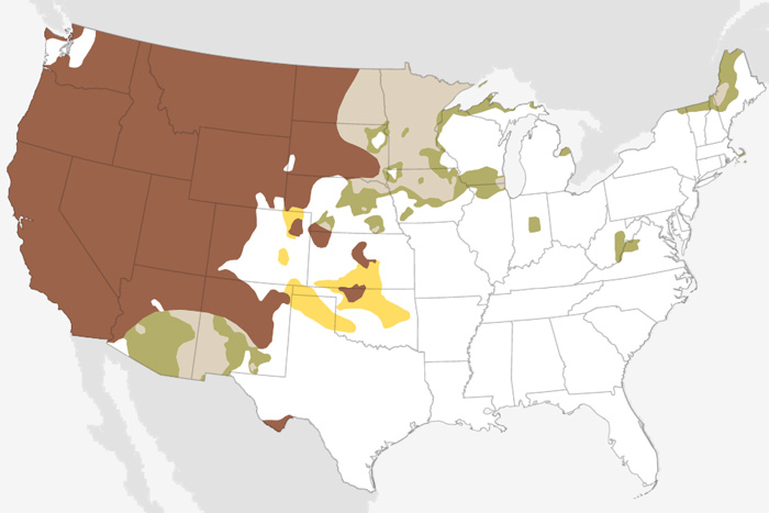
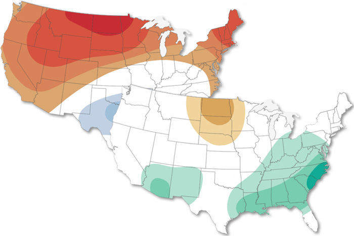
U.S. Winter Outlook: Warmer, drier South with ongoing La Niña
October 20, 2022
Forecasts provide an opportunity for us to reduce other stress on ocean life and prepare communities for economic impacts.
But lower emissions will reduce the intensity of the driest years of megadrought events.
Large parts of the country show no tip in the odds toward either a cold or warm September temperature outcome. The rainfall associated with Hurricane Ida's remnants is likely to be enough on its own to lead to a wetter-than-average September for areas in its path.
The August 2021 Climate outlook favors a wetter-than-average month across the Southwest and Southeast and above-average temperatures across much of the contiguous U.S.
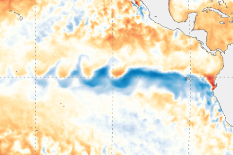
The chance of La Niña developing by the fall and lasting through winter is 50-55%, and NOAA has issued a La Niña Watch.
Weak El Nino continued into April. Our blogger discusses the "here & now" and the forecast for spring and summer.