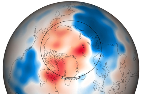
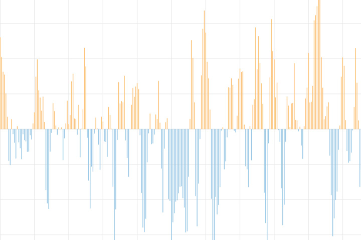
A wave of cold Arctic air gripped much of North America, Europe, and northern portions of Asia through the month of December 2009.
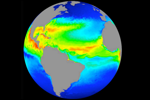
Improved computer models help scientists understand Earth’s ocean.
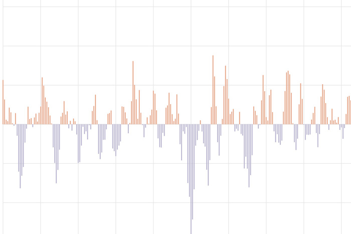
The Pacific-North American teleconnection pattern influences regional weather by affecting the strength and location of the East Asian jet stream, and subsequently, the weather it delivers to North America.
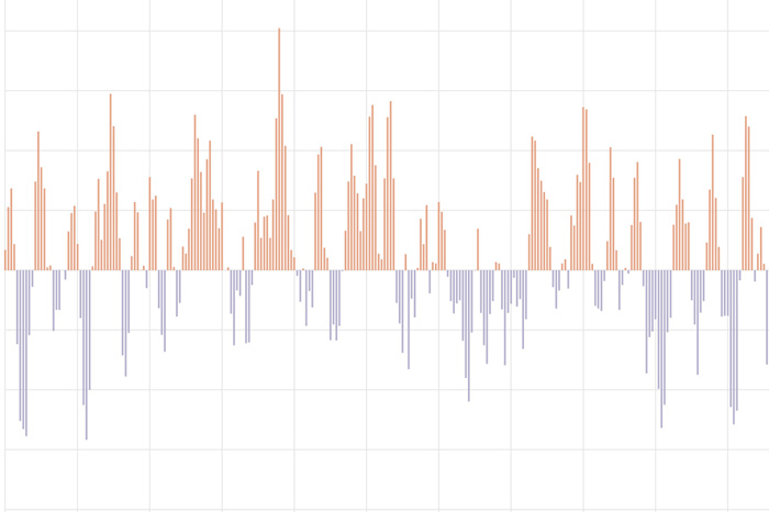
The Arctic Oscillation (AO) refers to an atmospheric circulation pattern over the mid-to-high latitudes of the Northern Hemisphere. The most obvious reflection of the phase of this oscillation is the north-to-south location of the storm-steering, mid-latitude jet stream.
The North Atlantic Oscillation tracks a seesawing of surface pressure between two parts of the North Atlantic. Different phases often bring predictable changes in winds, temperature, and precipitation in the United States and Europe.
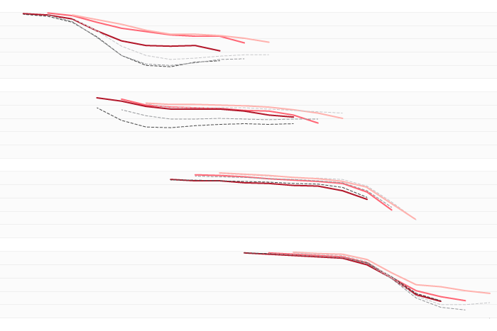
A new paper looked at 20 years work of real-time ENSO Model forecasts and found some interesting patterns. Did you know models found it pretty freaking hard to predict the onset of La Nina events?
The troposphere, not the stratosphere, can be thanked for the cold weather this week.
The cold air outbreak forecasted for the coming weekend has a stronger hint of a polar vortex connection than the last one.
What are the odds of a stratospheric polar vortex disruption this winter? We take a look at two things that help predict our chances for this extreme event.
You should, too.