In a special collection of the American Meteorological Society, 13 papers produced by researchers from the third NOAA Climate Program Office’s Modeling, Analysis, Predictions, and Projections (MAPP) program Drought Task Force (DTF3) describe research advances leading to improved monitoring, prediction, and understanding of past droughts.
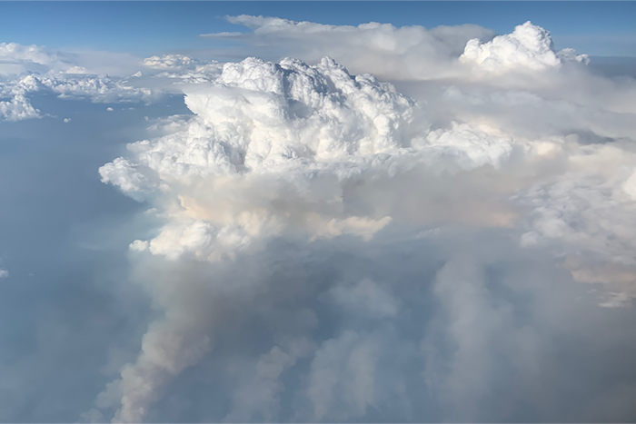
New research on the massive Australian bushfires in 2019 and 2020 shows that almost 1 million metric tons of smoke rose into the stratosphere, causing it to warm by about 1 degree Celsius for six months, and likely contributed to the large and persistent ozone hole that formed over Antarctica during the Southern Hemisphere’s spring.
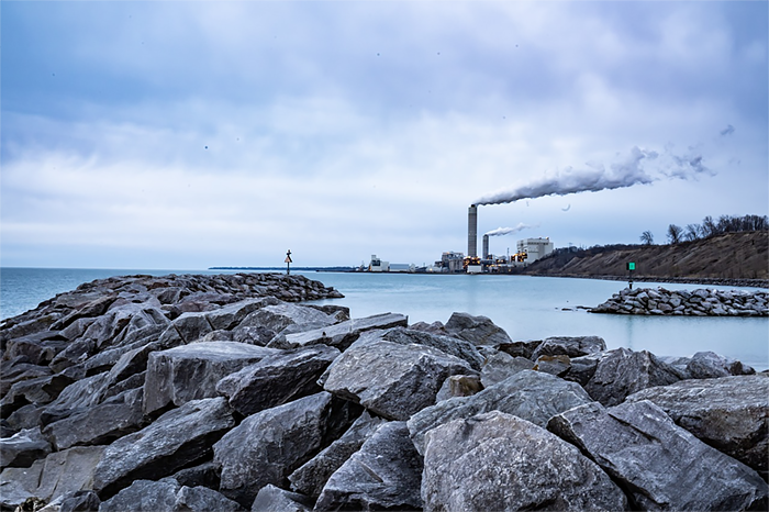
Tracking greenhouse gas levels in the atmosphere, understanding ocean warming, exploring the link between climate change and hurricanes, tracking warming in the Great Lakes, and working towards climate resilience are just five examples of the many ways NOAA scientists are answering questions about climate change and its potential impacts on human societies.
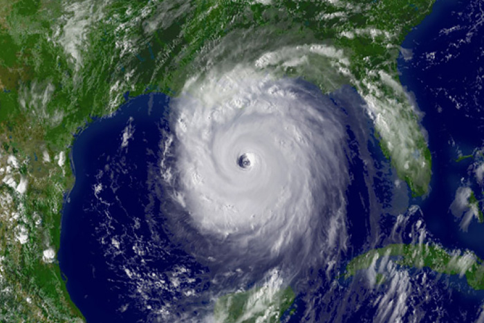
As NOAA adopts 1991–2020 as the new 30-year period of record, “average” hurricane activity in the Atlantic Ocean will increase. Average activity for the new period of record means 14 named storms, 7 hurricanes, and 3 major hurricanes.
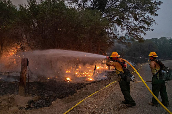
With wildfires in the western United States burning nearly 3.56 million hectares (8.8 million acres) in 2020, or about 75% more area than expected in an average year, it’s important to know how droughts, wildfires, and heat waves interact. How do they shape each other’s likelihoods, magnitudes, and impacts?

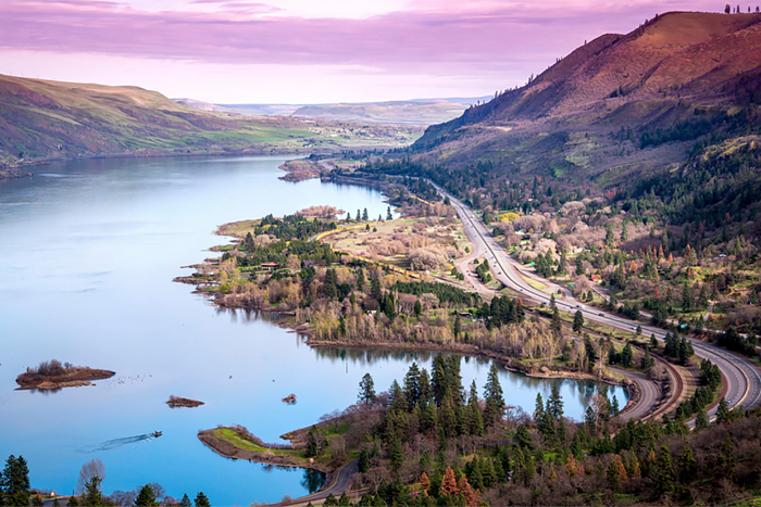
Researchers with the Pacific Northwest Climate Impacts Research Consortium (CIRC) have projected widespread increases in flood magnitude throughout the Columbia River Basin in a warmer climate. By 2050, much of the Pacific Northwest could experience increased flood magnitudes. The webinar associated with this study, recorded March 5, 2021, is now available online.
On March 15, 2021, the Great Lakes Integrated Sciences and Assessments (GLISA), published new guidance, “A Practitioner’s Guide to Climate Model Scenarios.” The guide summarizes differences between the scenarios for the Great Lakes region to show how the choice of model scenario affects future temperature and precipitation projections.
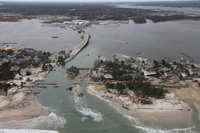
Severe storms might seem like great equalizers, but coastal flooding doesn’t affect everyone the same way. A new study in Climatic Change highlights the factors that make some people in the storm’s path more vulnerable.
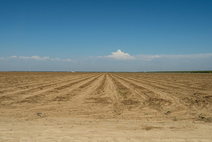
Drought frequently strikes the U.S. Southern Plains, so understanding how drought affects water availability has significant economic benefits. But modeling water availability is challenging because so many physical processes must be considered. A new study examines how a frequently used model compares with observations.