NIDIS and partners launch ACF Basin drought and water dashboard and storymap
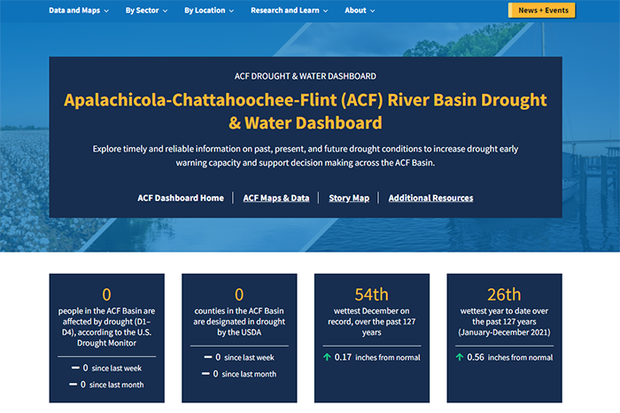
<p>NOAA has released the Apalachicola, Chattahoochee, and Flint (ACF) River Basin drought and water dashboard. Credit: NOAA</p>
NOAA has released the Apalachicola, Chattahoochee, and Flint (ACF) River Basin drought and water dashboard. Credit: NOAA
The Apalachicola, Chattahoochee, and Flint (ACF) Rivers, along with the Apalachicola Bay, link the people and natural systems of Alabama, Florida, and Georgia. Balancing the water needs between three states and various sectors creates complex water management challenges, which are further intensified during times of drought.
In response to a request by regional stakeholders, and in close partnerships with state and regional partners, NOAA’s National Integrated Drought Information System (NIDIS) has launched the new ACF River Basin Drought and Water Dashboard and ACF Drought Story Map These web resources will improve the public’s ability to view real-time information with interactive, shareable, and easy-to-understand graphics on current and predicted drought conditions, and assist decision-making at the basin and local level.
Read more at the link below.