
Image caption
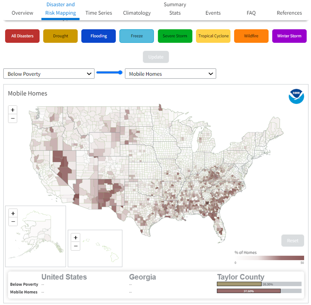
The most recent update to NOAA's Billion-dollar Disasters mapping app allows users to find local-scale data on overlapping hazards and socioeconomic vulnerabilities. Screenshot from NCEI's hazard mapping tool.
The most recent update to NOAA's Billion-dollar Disasters mapping app allows users to find local-scale data on overlapping hazards and socioeconomic vulnerabilities. Screenshot from NCEI's hazard mapping tool.