A pool of warm water lurking beneath the surface of the western Pacific has been slowly sloshing eastward in the past few months. This traveling wave of warm water is one of the signs that climate conditions are favorable for the emergence of El Niño later this year.
Climate change is a global phenomenon, affecting weather events around the world. Therefore, people around the globe need climate information to anticipate potentially damaging floods, droughts, crop and pest conditions, and disease outbreaks. For 20 years, the scientists at the International Desks of NOAA’s Climate Prediction Center have provided climate outlooks for weeks and months into the future and trained visiting meteorologists to translate climate data into information that can help decision makers in different parts of the world.
In October 2003, a little-known think tank in the Department of Defense quietly released a report warning that climate change could happen so suddenly it could pose a major threat to our country's national security. Why was the Pentagon worried about abrupt climate change? Because new evidence from Greenland showed it had happened before.
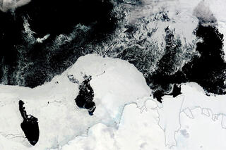

From reindeer to regional temperature patterns, from sea ice age to Greenland surface melt, the Arctic Report Card is a yearly assessment of the Arctic's physical and biological systems and how they are changing. This collection of visual highlights from the 2013 report is a story of the Arctic in pictures.
The most likely explanation for the lack of significant warming at the Earth’s surface in the past decade or so is that natural climate cycles caused shifts in ocean circulation patterns that moved some excess heat into the deep ocean.
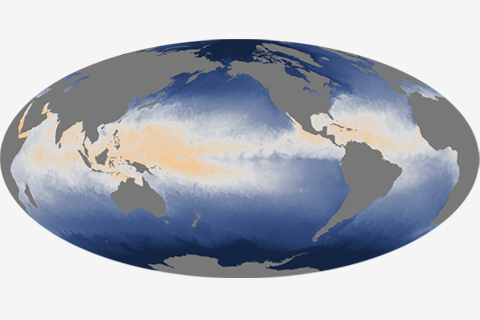
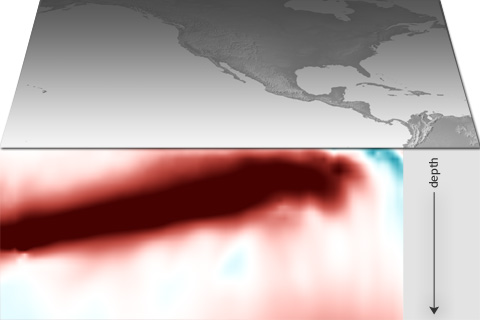
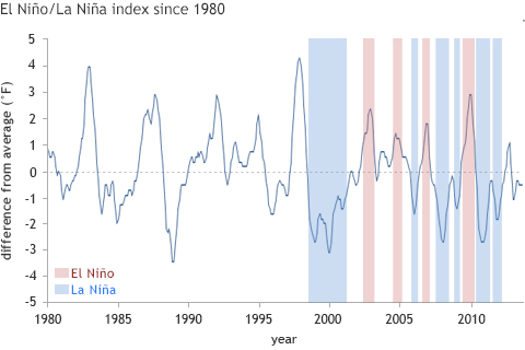
While heat is stored and mixed throughout the depth of the ocean, it is the temperature at the surface—where the ocean is in direct contact with the atmosphere—that plays a significant role in weather and short-term climate.
Maps of the thousands of storms that have passed through the Eastern Hemisphere tropical oceans in the past century or so reveal a more crowded landscape than similar maps of the Western Hemisphere. Unlike the Western Hemisphere, where storms are mostly confined to areas north of the equator, the Eastern Hemisphere sees storms in both north and south tropical waters.
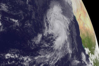
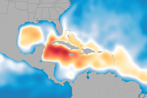
Andrea, Barry, Chantal, Dorian, Erin... who’s next? Probably plenty more, according to NOAA’s updated Atlantic hurricane season outlook. With five named storms already in the books this summer, the 2013 hurricane season is shaping up to be above normal.