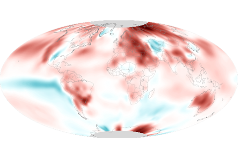
September 2020 was the hottest September on record for the globe, continuing a sweltering year.
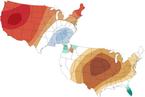
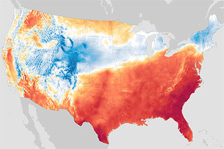
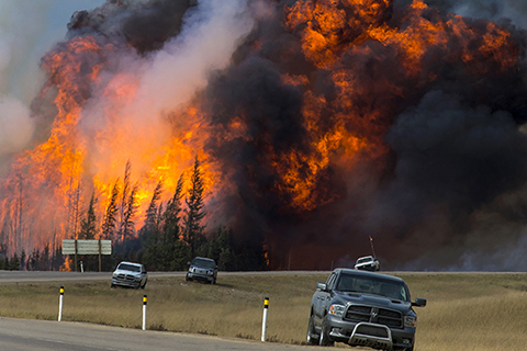
The latest maps from NOAA's Climate Prediction Center show where October 2020 is forecast to be much hotter and drier than average in the U.S. It's not a great outlook for the wildfire-affected West.
The September 2020 temperature and precipitation outlook favors a warmer- and drier-than-average September across the western United States, and a wetter-than-average month across the south-central Plains and much of the East.
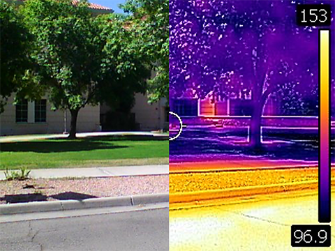
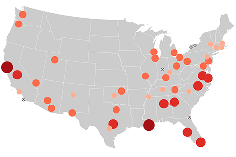
Join three heat experts to talk about how we map, monitor, and lessen the impacts of urban heat islands.

With specially designed sensors mounted on their own cars, volunteers in each city will drive pre-planned routes, recording heat and humidity as they go. Scientists will stitch their results into a detailed map showing the hottest parts of each city.
From heat waves to heavy rain, the National Climate Assessment's recently updated collection of indicators shows how climate is changing.
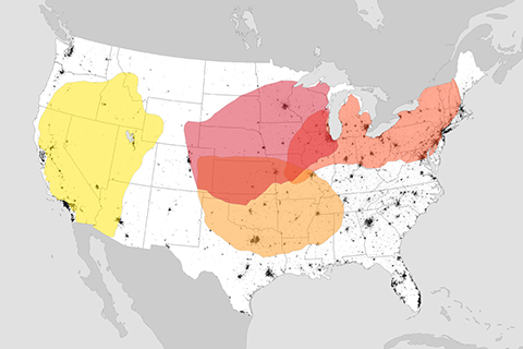
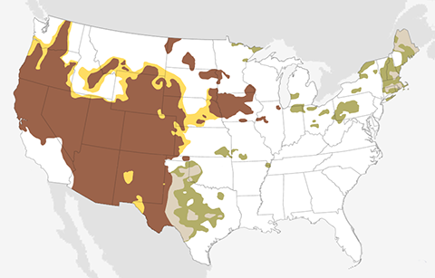
Influence of global warming on U.S. heat waves may be felt first in the West and Great Lakes regions
Global warming will make heat waves hotter, longer, and more frequent. Communities in the U.S. West and the Great Lakes region may have the least time to prepare.
Now in its sixth year, a NOAA-led report published by the American Meteorological Society provides the results of more than two dozen studies of various extreme weather and climate events in 2016 and the role global warming did or didn't play in them.