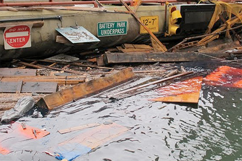
Stunned by Sandy's devastation, the city of New York undertook an ambitious project: to update its long-term sustainability plan using the latest climate science. Their goal was to understand how much sea level could rise, how soon, and just how vulnerable the city would be if some of the more extreme climate change projections turn into reality.
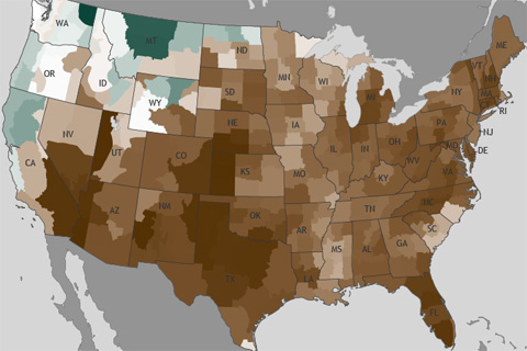
To Escape Drought, Slow and Steady Wins the Race
May 20, 2013
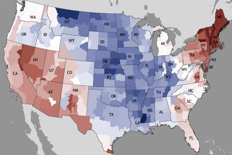
The November nationally averaged precipitation total of 1.19 inches was nearly an inch below the long-term average, making this the eighth driest November on record.
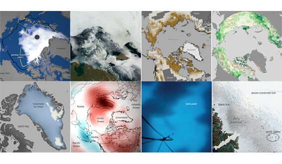
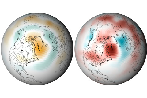
NOAA released the 2012 installment of the annual Arctic Report Card on December 5, 2012, as part of the American Geophysical Union's fall meeting. This image collection is a gallery of highlights based on the report's major themes. It was developed by the NOAA Climate.gov team in cooperation with Arctic Report Card authors and other Arctic experts.
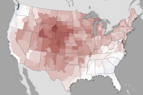
October 2012 ended the 16-month streak of above-average monthly temperatures for the contiguous United States, with an average temperature of 53.9° Fahrenheit, 0.3° Fahrenheit below the long-term average.
A scorching July contributed to the third hottest summer on record for the contiguous United States. Most of the U.S. was also drier than average. Rains from Isaac did little to relieve drought.
A series of unusually strong, long-lasting high pressure systems has parked over Greenland this summer. As many a weather forecaster has explained, high pressure generally leads to calm winds and sunny skies, both of which boost temperatures during the all-day sunshine of mid-summer at high latitudes. The conditions contributed to widespread melting of the ice sheet.
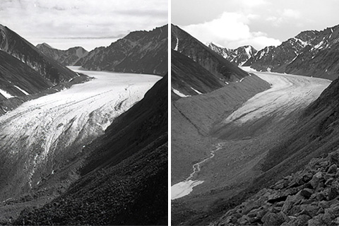
Data from 2010 indicate that mountain glaciers predominantly lost mass, and preliminary data from 2011 indicate a continuation of the same long-term trend.