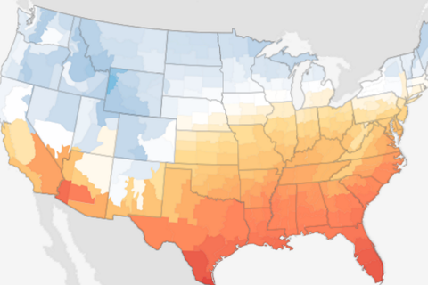
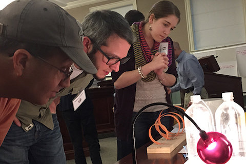
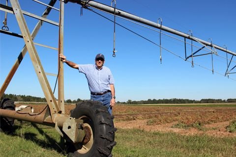
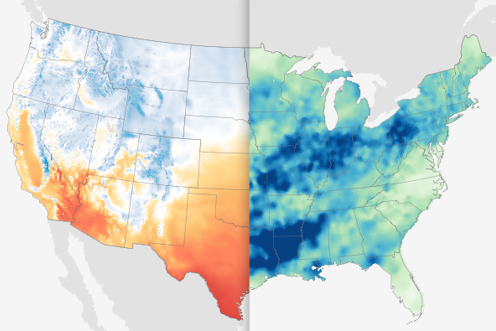
NOAA’s Climate Prediction Center (CPC) has issued its 2013 Atlantic hurricane seasonal outlook. In this video, Gerry Bell, a NOAA CPC meteorologist, explains that as of May 23, 2013, the outlook favors an above-normal Atlantic hurricane season from June 1 through November 30.
This interactive mapping application easily searches and displays global tropical cyclone data. Users are able to query storms by the storm name, Zip Code, city, state, geographic region, or latitude/longitude coordinates. Custom queries can track storms of interest and allow for data extraction and download.
In this educational activity, students utilize a set of photographs and a 30 minute video on weather to investigate extreme weather events. They are posed a series of questions that helps them to identify weather conditions that predict various extreme events, and they record their responses on a worksheet. Climate and weather concepts are defined.
Access multiple layers of free, searchable climate data quickly and easily through this integrated GIS map application. Global, regional, and U.S. maps are available as well as surface station data for a variety of measurements — including temperature, precipitation, climate indices and more!
In this educational activity, learners investigate the link between ocean temperatures and hurricane intensity, analyze instrumental and historical data, and explore possible future changes in hurricanes as the climate warms.