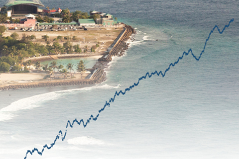
In 2014, global average sea level was 2.6 inches (67 mm) above the 1993 average, which is the highest yearly average in the satellite record.
Use this interactive map to browse a collection of animated gifs showing monthly sea level at U.S. tide-monitoring stations over their lifetimes.