Developed by the NOAA Coastal Services Center, the sea level rise viewer offers access to data and information about the risks of sea level rise, storm surge, and flooding along the coastal United States. The Web-based map has the potential to help people build (or rebuild) in a more resilient way.

Explaining the NOAA Sea Level Rise Viewer
October 29, 2013
Windell’s Levee: Protecting a Coastal Community
November 27, 2012

Resilience and Energy: Coastal Management Ensures Supply
November 27, 2012
Leaving Leeville: Losing a Coastal Community
November 27, 2012
Advanced Coastal GPS: Immediate Data, Immediate Decisions
November 27, 2012
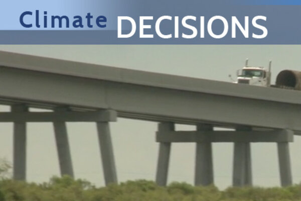
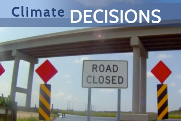
Built to Last: Climate Data Ensure Oil Supply Route
November 27, 2012
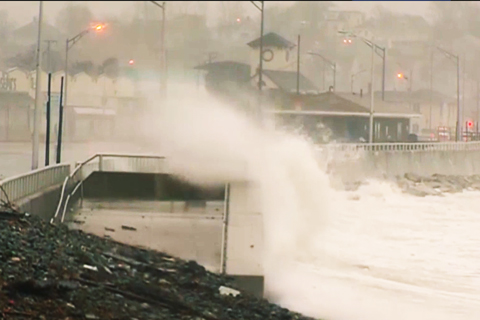
Ground Zero for Sea Level Rise
November 27, 2012

Find out how the Red Cross is using climate information in Vietnam to solve public health problems.
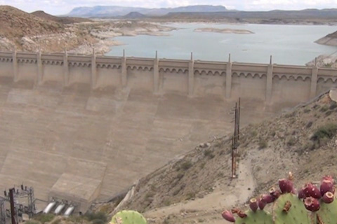
On the Rio Grande—historically the wellspring for more than five million people in Colorado, New Mexico, Texas, and Mexico—coping with scarcity has become a reality, and water management and use in the region may be a leading example of how to adapt to drier times